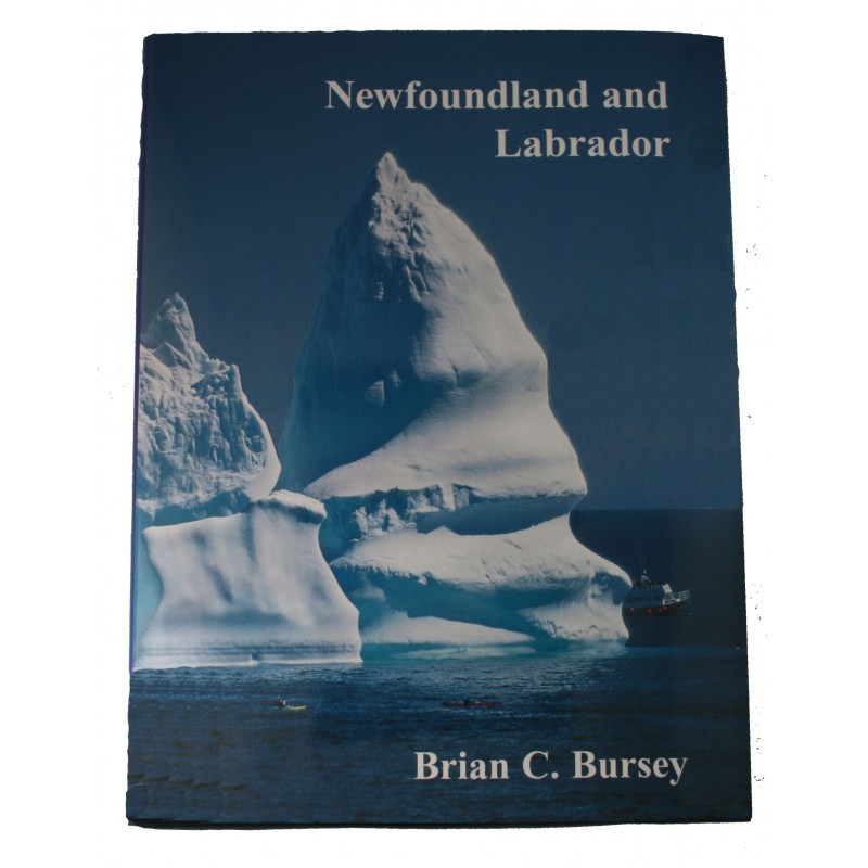


Newfoundland and Labrador by photographer Biran C. Bursey
This coffee table book is filled with photographs capturing the entire province of Newfoundland and Labrador. Each photo is explained in detail.
Front cover: Kayakers explore a massive iceberg near St. John's.
Although the glaciers of east Greenland and the Canadian Arctic contribute to a few of the icebergs seen in Newfoundland waters, most originate from west Greenland. Here, fingers of the 3000 meter thick Greenland icecap reach the sea, where large sections break off though a process known as calving.
Because as much as 90 percent of an iceberg's mass is below water, their movements are determined much more by the direction of ocean currents than by the wind. Thus, most icebergs spawned by the glaciers of west Greenland travel north before moving across Baffin Bay and southward past Baffin Island. It may be several years before they are captured by the Labrador current and swept past Labrador and the northeast coast of Newfoundland.
While the number of icebergs varies greatly from year to year, more than a thousand can be expected to pass the Island's northeast coast during the "iceberg season" of March to July. In Newfoundland waters a large iceberg is typically 10 million tonnes, with an above water height of 50-75 meters, while even small icebergs can measure 100,000 tonnes. Although modern navigational aids have greatly reduced dangers which icebergs pose for shipping, they continue to destroy fishing gear, while the large waves created by disintegrating or unstable icebergs can damage small fishing vessels and onshore fishing premises.